5 common uses of GPS devices
Global Positioning Satellite (GPS) is a versatile technology that features multiple applications for civilian use. The technology was first developed for the Department of Defence but was made available to the general public in the early 80s. Primarily, GPS is a satellite-based system designed to collect and transmit information and navigate data from 24 satellites circling the Earth’s orbit.
The navigation data is compiled taking into account several parameters like the speed of a moving object, it’s bearing, track, the distance to the location, and the current time. Modern-day GPS technology is highly reliable and broadcasts accurate information in different weather and atmospheric conditions.
- For driving
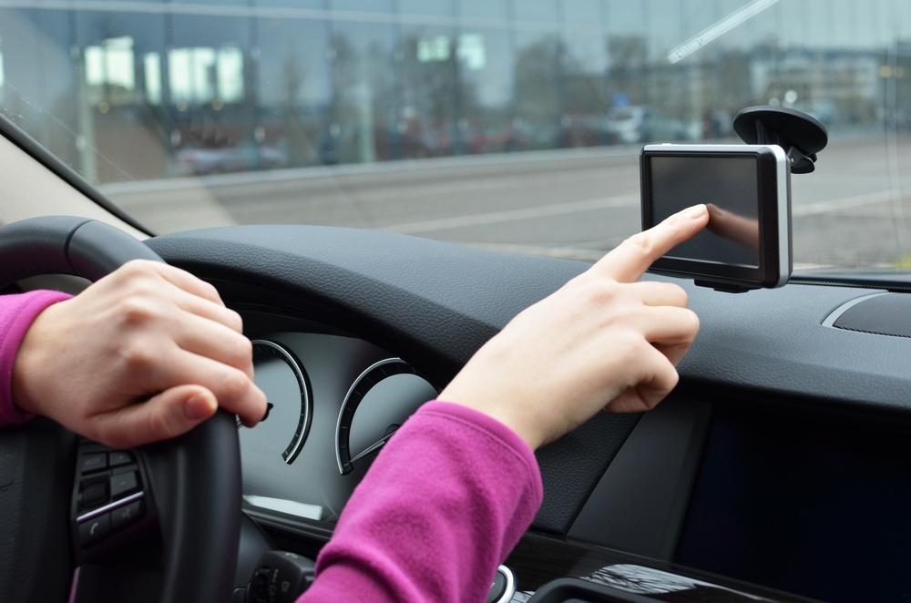
One of the most common applications of proprietary technology is helping you navigate through narrow streets and 8 lane highways alike depending on where you drive. Real-time data transmission from multiple satellites allows the onboard navigation computers to plot an efficient course taking into account the traffic, diversions, and the shortest route possible. Advanced navigation systems also keep track of the vehicle speed and alert changes in speed limits on the go. - For trail hiking
A handheld GPS device helps you to track and pinpoint your exact location in real time. Mountain terrain and popular hiking trails across the wilderness can be pretty hard to navigate without a guidance system. These handheld systems have changed outdoor travel completely with reliable maps, precise location tracking, and trail information. Some systems also feature elevation information, topographic detail, and precise waypoints to ensure a safe and comfortable trail for trekking and hiking. One of the main advantages of the system is the ability to relay information and your location to nearby rescue services in case of an emergency. These devices can also store information on your favorite fishing spots, white water streams, and campsites for your next visit. There is no need for you to calibrate the GPS every time you go on a trip. - For sports and fitness
Smartwatches and fitness trackers can be synced with your smartphone to provide accurate data using GPS technology. Sports enthusiasts and fitness professionals can benefit from the data collected on a cycle run or marathon to assess the number of steps taken, distance covered, and average heart rate. It can monitor your progress, track heart rate, and have the data uploaded online to your personal account to be synced in real time. - For seafaring
Private boats and massive public transport ferries can both benefit from the proprietary GPS technology. These devices have a moving atlas display that updates coastal maps in real time to provide precise location and navigational information. Advanced systems feature a combination of maps that cover all the earth’s oceanic regions and inland waterways. - For flying
The aviation industry uses GPS enabled devices to specifically plot a set course, at a fixed altitude, and speed. All planes have advanced navigation units to keep track of their precise location, monitor other aircraft in the vicinity, and process airport information to intercept waypoints and localizer markers for a safe and efficient journey.